Map stone walls in New England
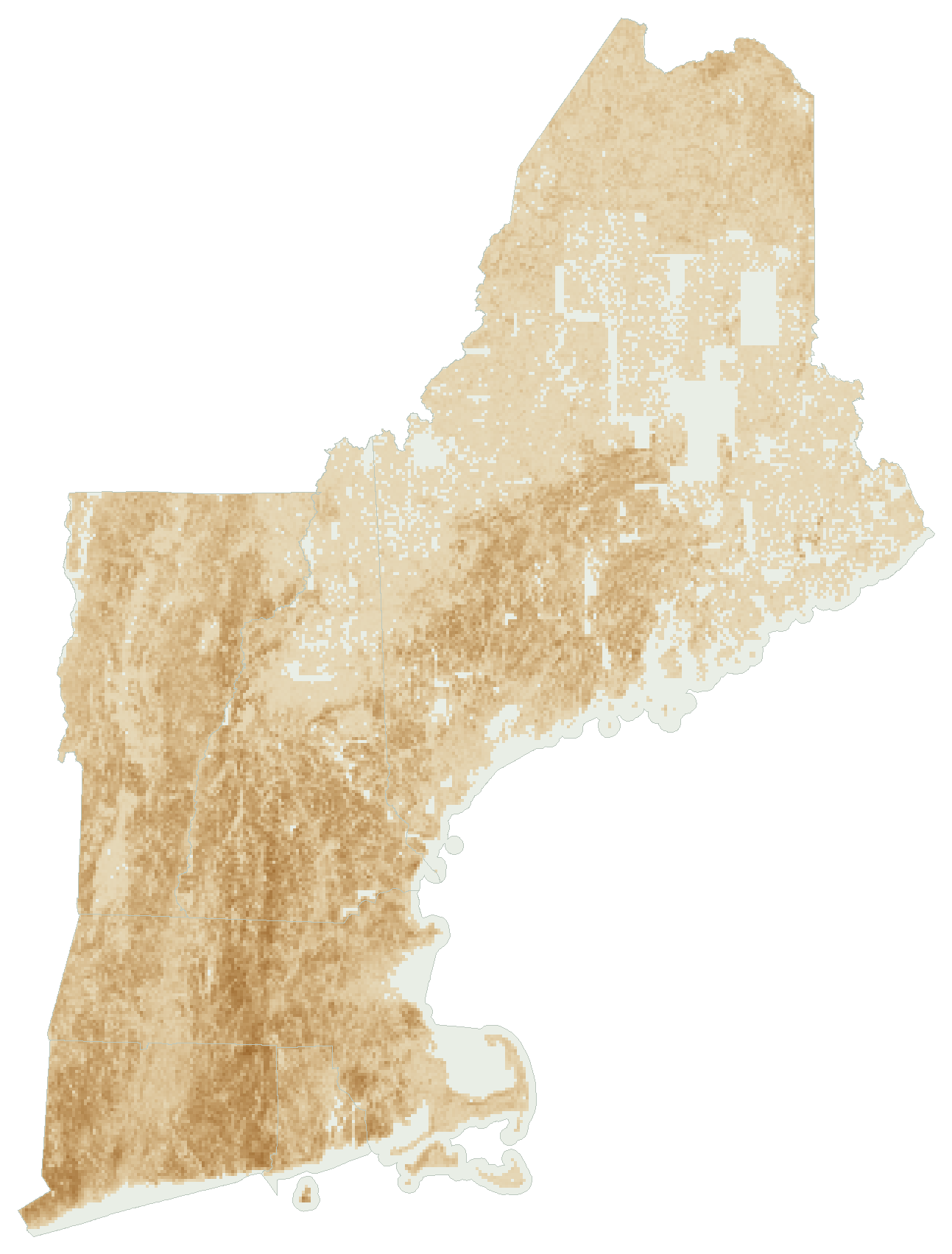
A community project to map New England's old stone walls. A model suggests where they are, and people confirm them.
How it works
Laser scans show the ground
Under the trees, an old wall is a thin raised ridge.
A model suggests walls
It learned from walls people traced by hand, and it makes mistakes.
People confirm them
A line becomes a wall on the map once someone has seen it and a reviewer agrees.
Existing stone wall maps
Made by others. This project is not affiliated with them.
New Hampshire Stone Wall Mapper
NH Geological Survey and UNH GRANIT
Volunteers trace walls over LiDAR images of the ground.
Our model learned from these tracings.
Connecticut Stone Wall Mapper
University of Connecticut
Walls mapped by UConn researchers and by the public.
We compare our lines with it.
Rhode Island Stone Wall Mapping Project
RIGIS, produced by Elliot Vosburgh
Walls across the state, traced by hand from 2022 LiDAR.
We compare our lines with it.
Research
Stone walls and LiDAR
- Johnson, K. M. and Ouimet, W. B. (2014). Rediscovering the lost archaeological landscape of southern New England using airborne light detection and ranging (LiDAR). Journal of Archaeological Science 43, 9-20. doi.org/10.1016/j.jas.2013.12.004
- Johnson, K. M. and Ouimet, W. B. (2016). Physical properties and spatial controls of stone walls in the northeastern USA: Implications for Anthropocene studies of 17th to early 20th century agriculture. Anthropocene 15, 22-36. doi.org/10.1016/j.ancene.2016.07.001
- Johnson, K. M. and Ouimet, W. B. (2021). Reconstructing historical forest cover and land use dynamics in the northeastern United States using geospatial analysis and airborne LiDAR. Annals of the American Association of Geographers 111(6), 1656-1678. doi.org/10.1080/24694452.2020.1856640
- Johnson, K. M., Ouimet, W. B., Dow, S. and Haverfield, C. (2021). Estimating historically cleared and forested land in Massachusetts, USA, using airborne LiDAR and archival records. Remote Sensing 13(21), 4318. doi.org/10.3390/rs13214318
- Suh, J. W. and Ouimet, W. (2023). Mapping stone walls in Northeastern USA using deep learning and LiDAR data. GIScience & Remote Sensing 60(1), 2196117. doi.org/10.1080/15481603.2023.2196117
- Suh, J. W., Ouimet, W. B. and Dow, S. (2023). Reconstructing and identifying historic land use in northeastern United States using anthropogenic landforms and deep learning. Applied Geography 161, 103121. doi.org/10.1016/j.apgeog.2023.103121
- Trotter, E. F. L., Fernandes, A. C. M., Fibæk, C. S. and Keßler, C. (2022). Machine learning for automatic detection of historic stone walls using LiDAR data. International Journal of Remote Sensing 43(6), 2185-2211. doi.org/10.1080/01431161.2022.2057206
- Thorson, R. M. (2002). Stone by Stone: The Magnificent History in New England's Stone Walls. Walker & Company, New York.
The model
A U-Net with a ResNet-34 encoder reads hillshade, slope, local relief and sky-view factor images made from the elevation data.
- Ronneberger, O., Fischer, P. and Brox, T. (2015). U-Net: Convolutional networks for biomedical image segmentation. Medical Image Computing and Computer-Assisted Intervention (MICCAI 2015), Lecture Notes in Computer Science 9351, 234-241. doi.org/10.1007/978-3-319-24574-4_28
- He, K., Zhang, X., Ren, S. and Sun, J. (2016). Deep residual learning for image recognition. IEEE Conference on Computer Vision and Pattern Recognition (CVPR), 770-778. doi.org/10.1109/CVPR.2016.90
- Deng, J., Dong, W., Socher, R., Li, L.-J., Li, K. and Fei-Fei, L. (2009). ImageNet: A large-scale hierarchical image database. IEEE Conference on Computer Vision and Pattern Recognition (CVPR), 248-255. doi.org/10.1109/CVPR.2009.5206848
- Iakubovskii, P. (2019). Segmentation Models Pytorch. Software, GitHub. github.com/qubvel-org/segmentation_models.pytorch
- Zakšek, K., Oštir, K. and Kokalj, Ž. (2011). Sky-view factor as a relief visualization technique. Remote Sensing 3(2), 398-415. doi.org/10.3390/rs3020398
- Hesse, R. (2010). LiDAR-derived local relief models: a new tool for archaeological prospection. Archaeological Prospection 17(2), 67-72. doi.org/10.1002/arp.374
Data
- USGS 3D Elevation Program: LiDAR elevation and hillshade
- NOAA Digital Coast: Connecticut 2023 LiDAR
- USGS National Hydrography Dataset: water outlines
- OpenStreetMap contributors: street map
- Esri and partners: satellite imagery